
Create Digital Twins with Precision Using Advanced 3D Scanning
About Service
Our 3D Scanning service captures your space or object in ultra-precise digital detail, creating accurate and scalable digital twins. Ideal for architecture, construction, industrial plants, and interior design, our scanners generate point clouds and 3D models with real-world measurements. Whether for documentation, remodeling, or VR simulations, our service helps visualize environments like never before. We ensure precision, speed, and seamless data delivery in multiple formats to match your technical or creative project needs.
- High-accuracy LiDAR or structured-light scanning
- Generates point clouds, mesh, and 3D models
- Ideal for architecture, construction, and industrial layouts
- Accurate space measurements for renovation or planning
- Exports in common CAD/BIM-compatible formats
- Can be integrated with VR and AR applications
From Scan to Share in Minutes
Book a Scan
Schedule a session with our certified professionals at your convenience.
We Capture in 360°
Our team captures every detail of your space using cutting-edge 360° and 3D imaging technology.
Share & Track Engagement
Easily share your virtual tour and monitor viewer interaction with powerful analytics.
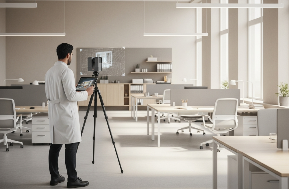
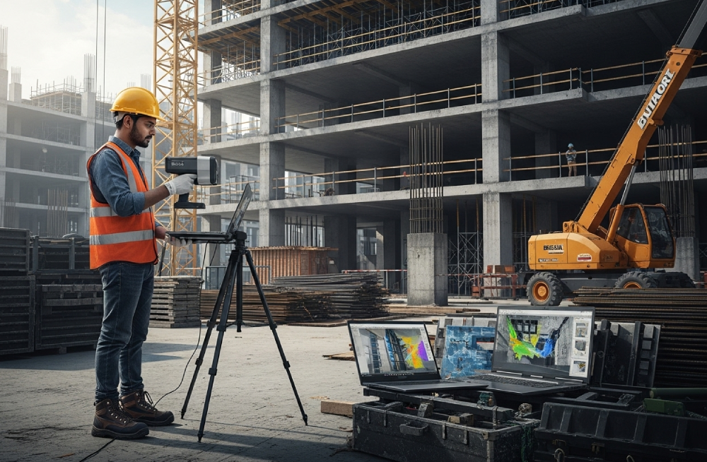
Our 3D Scanning service brings unmatched accuracy and realism to digital documentation. Using cutting-edge LiDAR and structured-light scanners, we create high-resolution digital twins of any space—capturing geometry, measurements, and texture with precision. Whether you’re an architect planning renovations, a contractor needing technical data, or a designer creating a virtual walkthrough, 3D scanning transforms real-world environments into highly detailed, interactive 3D models ready for CAD, BIM, VR, or AR applications.
We specialize in scanning offices, factories, construction sites, showrooms, and heritage spaces, producing outputs like point clouds, mesh models, and textured 3D assets. Every scan is conducted by trained technicians who understand both field conditions and data formatting needs. With rapid turnaround and support for industry-standard file formats, our service helps eliminate guesswork in design, documentation, and collaboration. Take your spatial data to the next level with accuracy you can see and scale you can trust.
Google360Tour helped us sell properties faster. Clients love exploring homes virtually before visiting. Highly recommended!
Our hospital tour is now live on Google Maps. Patients feel more confident visiting after seeing our facilities online.
The interactive mall walkthrough is a game changer. Shoppers love using it for navigation and store previews.
Thanks to the virtual store tour, our footfall has increased and customers come in knowing what to expect.